Hello!
I am Faith Muchembi a Geographer
and
Software Developer
I am confident and hardworking, a self –starter with passion for excellence and willingness to learn from others, I have a strong sense of responsibility; Am a team player and a quick learner.

SERVICES
Some of the technical services I offer
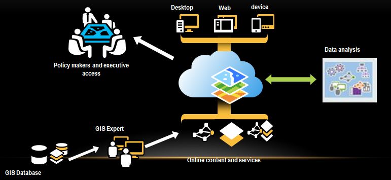
GIS AND REMOTE SENSING
GIS is Technology that organizes information into all types of layers that can be visualized, analyzed and combined to help us understand almost everything about our world.
Remote Sensing is a GIS data source, I do spatial data collection, Data visualization and mapping as well us analysis and modelling.
DATABASE MANAGEMENT
Involves creating, using and maintaining Databases using DBMs. and DBMs are basically a software package that allows user to setup, use and maintain a database.
I work with Postgresql
WEB DEVELOPMENT
This is the building and maintainance of websites.
I am a full stack Web Developer. I use Javascript and Python Languages, for frameworks I use React, Expess js and Node js and Django, the HTML and SASS and Bootstrap CSS frameworks.
PROJECTS
These are some of the complete projects I have worked on
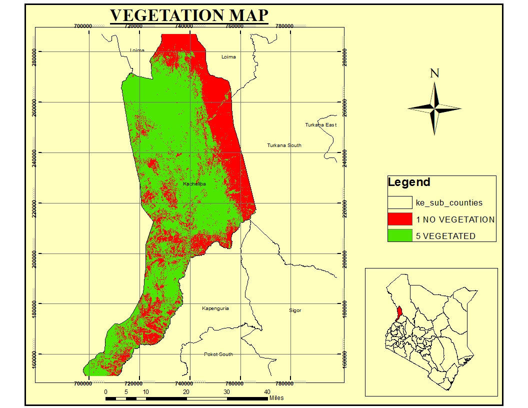
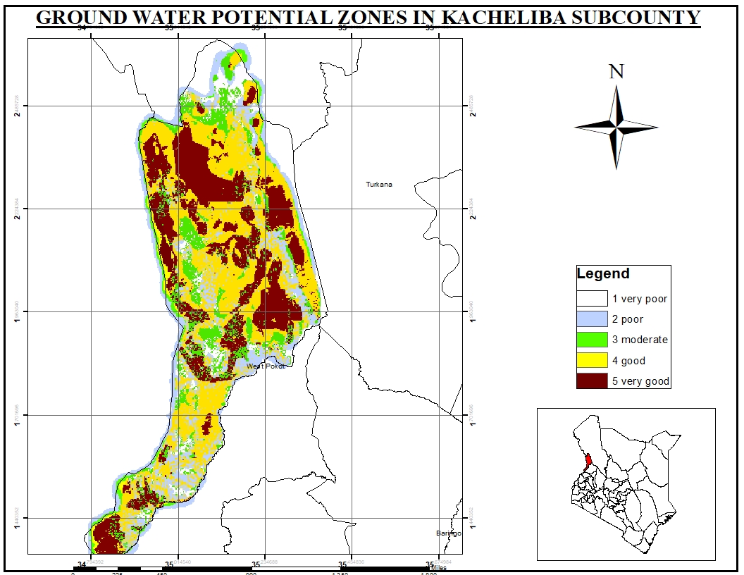
POTENTIAL WATER ZONATION
The project uses GIS and Remote Sensing technologies to Identify potential groundwater zones in the ASAL areas where bore hole drilling can be done, for efficient supply of water in ASAL areas.
KENYA 2019 POPULATION CENSUS WEB MAP
An app intergrating software development and GIS technology to show Kenyans population per county basing on the 2019 national census count.
DELANI STUDIO
A fully responsive website template created using vanilla Javascript, JQuery, Bootstrap and HTML
NAIROBI HEALTH FACILITIES
An app intergrating software development and GIS technology to enable Nairobi county residents locate their nearest health facility. The app is build using React Leaflet, nodejs and Bootstrap
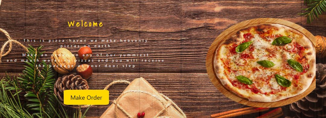
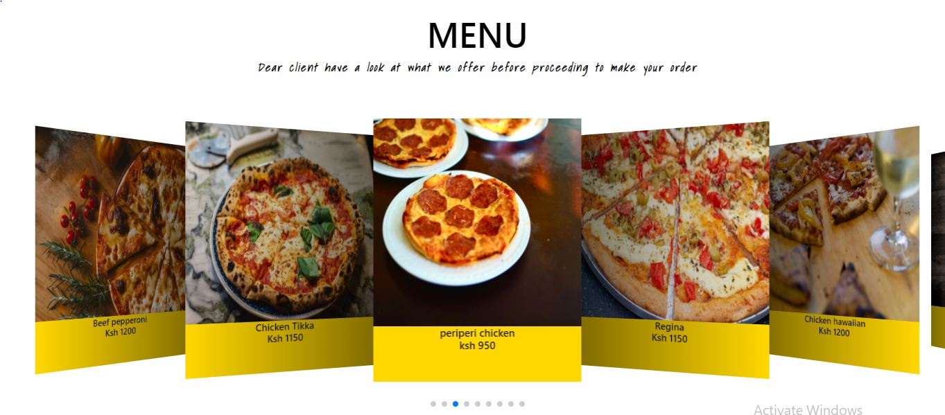
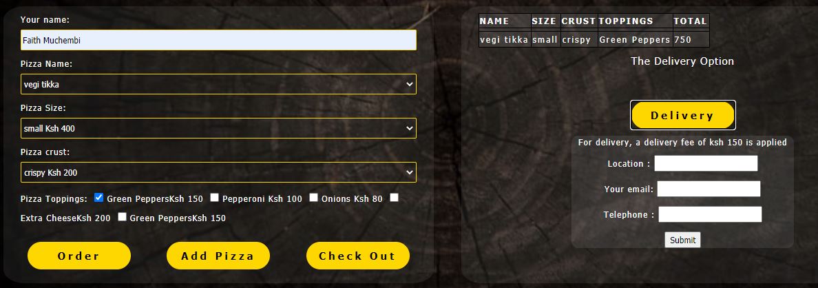
PIZZA ONLINE SHOP
This is a web application that enables the users to make an order of pizza,with an option of the buyer coming to pick up their placed order by themselves or request for a home delivery service on the app.
NAIROBI HEALTH FACILITIES API
An API built using Nodejs,Express and postgres. All demonstrated in a medium article to help beginners using GIS data with Nodejs.
RESUME
Get a copy of my professional and educational background details by clicking on the download here button
SKILLS
My degree gives me a background in Geospatial Technology
on the other hand I am a Tech enthusiast thus a self taught Programmer
that intergrates both disciplines to provide Geospatial solutions
MENTORS
These are some of the people I look upto professionally, they advice, motivate and frequently check my career progress
Brian Pondi
GIS Engineer
Computational Geographer
Vivianne Meta
Geomatics Lead
LocateIT Limited
Joel Tanui
VAS Product Developer
Safaricom PLC
CONTACT
Feel free to call me, send a message or write an email.